Client: County of Renfrew
Location: Renfrew, Ontario
Size: N/A
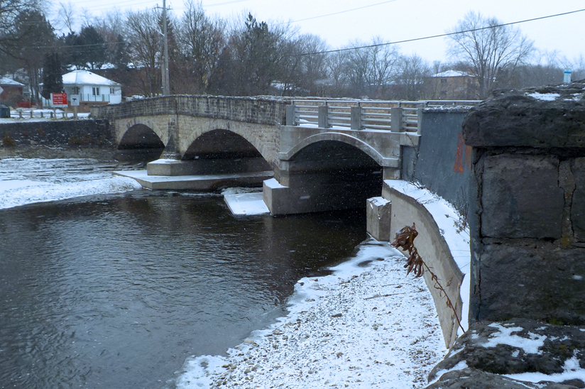
JLR was retained to carry out a Schedule B Municipal Class Environmental Assessment (MCEA) to assess options for the dam including: retaining it as-is; remediation to current standards; and removal. The JLR team undertook the required stakeholder and agency consultations as well as managing technical considerations such as balancing fish habitat concerns upstream with downstream natural environment, species at risk reviews, and social impacts. The process involved complex evaluation criteria and a systematic approach to a viable solution. Consultation with the Ministry of Natural Resources and Forestry, Ministry of the Environment, Conservation and Parks, Fisheries and Oceans Canada, as well as the public were performed throughout the study. A Cultural Heritage Evaluation Report and Archaeological Study (Stage 1 and Stage 2) were also performed to review the history of the structure, as well as determine any heritage value.
The analysis of the dam required a hydrologic and hydraulic assessment as well as inundation mapping in a dam break scenario. The inundation mapping from the HEC-RAS model under the various storm scenarios was used to assist in determining the Hazard Potential Classification through a risk assessment process. The resulting selected inflow design flood (IDF) was simulated in both models.
The study concluded that significant design and construction work was required on the upstream and downstream waterways if the dam were to be removed. Additionally, the risk of flooding due to dam failure was something for the County to consider. The County opted to consider proceeding with the option of replacing the dam with a concrete weir of similar size and hydraulic capacity.