Client: Municipality of Mississippi Mills
Location: Mississippi Mills, Ontario
Size: N/A
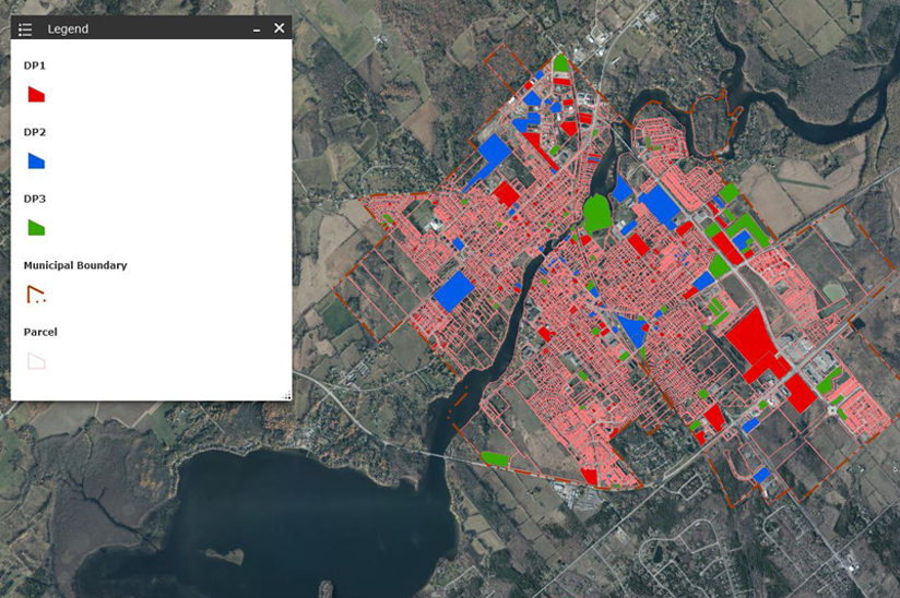
JLR was retained in 1999 by the Municipality of Mississippi Mills (Municipality) to help develop a municipal desktop geographic information system (GIS). The project started as a parcel-based planning system for zoning and official plan information and gradually developed into a municipal-wide system including public works as well as parks and recreation information.
In 2015, JLR was retained by the Municipality to move the GIS to a web-based system. The Municipality wanted to open the GIS to more staff and make it available to the public. JLR moved the GIS to ESRI’s ArcGIS Online and developed internal browser-based applications allowing users to perform simple searches based on the GIS layers. As part of this project, JLR also developed a public portal allowing nonmunicipal users to find basic information about their property including zoning by-Law and official plan information.
In 2019, JLR was retained to develop a mobile application to assist the Municipality with their wild parsnip program. The Public Works Department was looking for a mobile application to help monitor the spread of wild parsnip and to help implement a spray and boom program. This included tracking owners that opted out of the spraying. JLR worked with a summer student to develop a mobile application using ESRI’s Collector for ArcGIS to access the GIS in the field. JLR also assisted in developing an Operations Dashboard to provide a quick view of the information collected and statistics for the program.
JLR continues to assist the Municipality by providing “as needed” GIS technical services and completing special assignments to either improve data quality or add new data layers to the GIS.


